METD WEATHER,
Akshay Deoras
Extreme Weather Forecaster,
The stagnant trough will cause another round of storms in USA after causing 37 tornadoes on 10th May.
Along with the surface low, LLJ will eject across the warm sector backed with an approaching cold front by late afternoon to evening. The atmosphere will mostly remained CAPPED till late afternoon inhibiting convection. Classic 45kt LLJ will rapidly transport moisture if the surface winds remained away from Kansas area. Severe convection will happen into evening hours amidst a strong CAPE of 4000J/Kg leading to extreme updrafts and supportive to Very Large hails due to cool air aloft. But there is some problem with shears. The shears are not that strong for causing Severe tornadoes but 200 m2 s2 for some will rotate supercells. The HP cells are likely. The SKEW T is depicting a Low LCL and a 1.28PW right now.
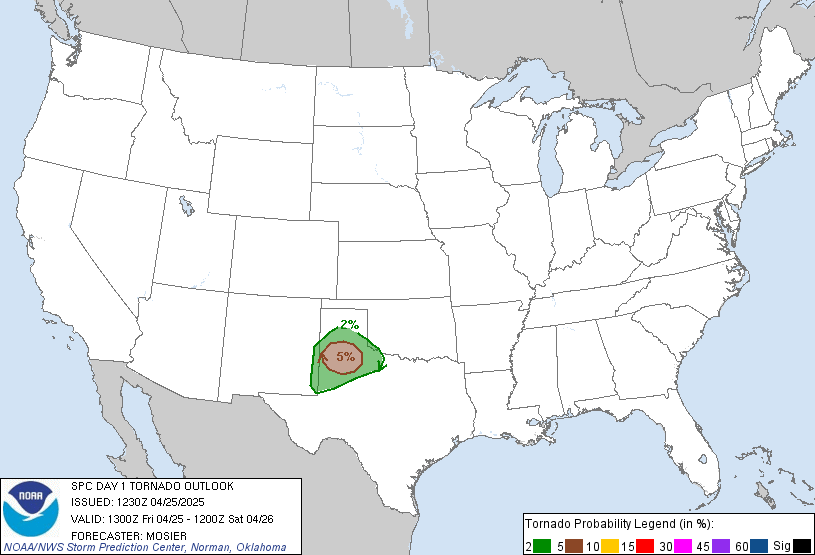
By evening there will be a little cap which can be a cause of concern as it may reduce the severity of storms. Though this event can be good for tornadoes especially in Eastern Kansas than Oklahoma. SPC is getting a 10% for Tornadoes across Extreme Northern Ok,Eastern KS,NW MO
I expect tornadoes SE KS in the vicinity of cold front. The cold front will be the KEY for tornadoes
No comments:
Post a Comment