

Akshay Deoras
Severe Weather Forecaster
**UPGRADE TO MODERATE RISK**
...THERE IS A MDT RISK OF SVR TSTMS ACROSS PARTS OF ERN KS AND NW MO... ...THERE IS A SLGT RISK OF SVR TSTMS ACROSS PARTS OF THE MID-MO VALLEY...CNTRL PLAINS...SRN PLAINS...WRN OZARKS AND WRN GREAT LAKES... ...SEVERE WEATHER EVENT EXPECTED FROM ERN KS NEWD ACROSS NRN MO INTO WRN AND NRN IL THIS AFTERNOON AND EVENING...
A possible severe weather outbreak is likely in US across a major area covering from Illinois to South Central states.
A positively tilted trough currently in the Pacific will amplify over the rockies ejecting in the West- Central US by Sunday morning along with the cold front
As the trough shits Eastwards, Convection is likely to be inhibited due to presence of very strong Capping Inversion in the south central states.
With some day time heating expected, the strong CAP over MO is expected to break some by late evening hours Sunday. Thus for entire afternoon,convection shall be inhibited.
With the minor breaking of CAP, Severe storms are expected to fire and in Moderate Instability across Eastern KS,Much of MO during evening hours in the surface dewpoints of 65-70F
Once the convection initiates, the thunderstorms embeded in the squall line and some isolated storms w'd modify into supercells as there is a presence of nice Vertical shears ( Helicity) at the ground (0-1km) height.
Supercells shall explode into Missouri and particularly expected in Eastern Kansas if the CAP breaks on time.
Primary target-
Tornado threat persists for evening - night tornadoes specially for SE Kansas to extreme SW MO where the EHI values are peaking around 5 as CAPE is really strong there and excellent low level curvature in the hodographs but all depends on the CAP breaking

The second target remains Central MO-
West of Coloumbia,MO where some tornadoes are possible
SPC Outlooks 10% Tornado risk in NE Missouri,SE IA,Western IL

Rest-
Thunderstorms capable of damaging wind gust and large hails to appear from NRN OK,MO,East-SE IA,Western IL
MORE TO COME-
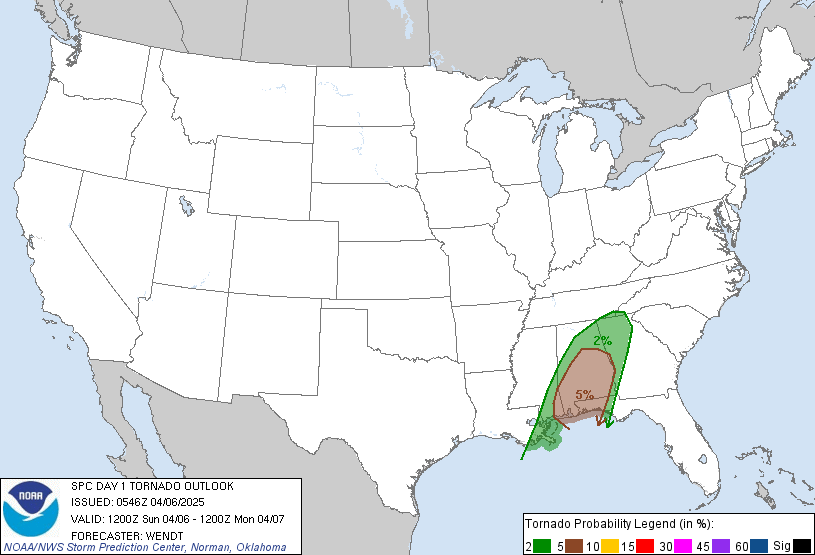
SEVERE WEATHER IS AGAIN GOING TO HAMMER SOUTHERN AND EAST CENTRAL STATES ON MONDAY
No comments:
Post a Comment